Monitoring with 4D gravity
We check whether a reservoir or CO2 storage is suitable for monitoring using 4D gravity. Reliable, fast and cost-effective. Please contact us for further details.
Welcome to the awesome world of TERRASYS Geophysics!
TERRASYS Geophysics, an independent consultancy with offices in Hamburg and Houston, specializes in global services that revolve around non-seismic approaches for integrated multi-physics interpretation projects across various applications.
Since our establishment in 1993, we have developed strong collaborative relationships with our clients to ensure the optimal utilization of gravity, magnetic, electromagnetic, borehole, laboratory and other relevant geoscience data within project-specific workflows. This enables us to provide dependable geological solutions, ranging from reconnaissance studies and near-surface assessments to 3D structural inversions, especially in complex salt tectonic environments.
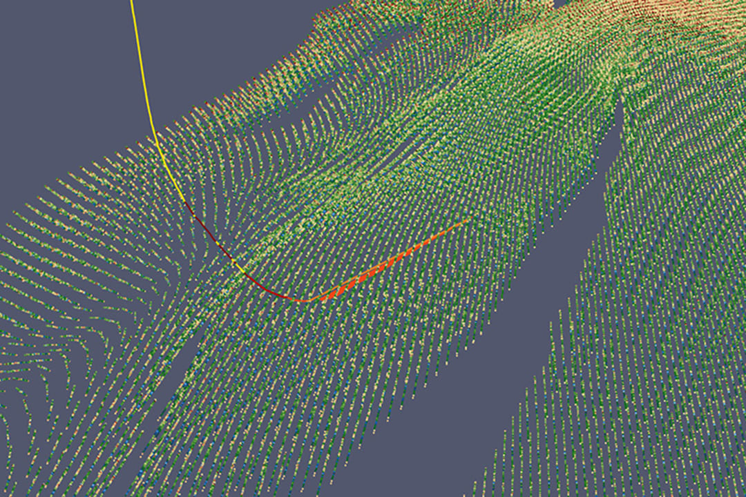
In handling intricate scenarios, our approach involves the integration of all available geophysical and geological data, maximizing the reliability of our results through meticulous data analysis, forward modelling and inverse modelling. Boundary conditions are carefully considered and may range from rigid to flexible or even subject to inversion themselves, depending on the nature of the data and the project’s requirements.
To minimise uncertainties in your model, our workflows utilise all available geodata …
Need to invert data for multiple rock properties? No problem for our flexible joint inversion approach …
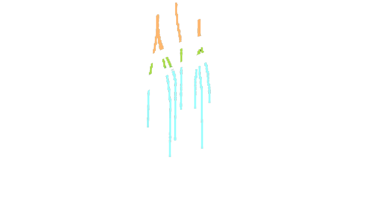


You want to know how many caverns there is still room for?
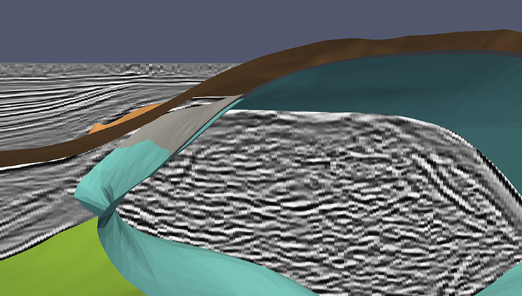
More precise knowledge of the depth and extent of salt domes for cavern construction saves time and money. We have over 25 years of experience in salt dome modelling.
What we can do for you
The extensive expertise of TERRASYS staff allows for the flexible adaptation of non-seismic tools to meet specific project objectives. Our consulting services primarily focus on gravity, magnetics, and electromagnetics, which serve as valuable instruments for reducing model uncertainty and minimizing risk in projects.
These methods can be utilized individually, in combination, or in accordance with the availability of other data sources such as seismics, well logs, geology and rock physics. Qualitative data analysis plays a crucial role, as it can validate assumed lineaments, reveal concealed geological features, and identify promising exploration opportunities.
Furthermore, our multi-physics joint inversion capabilities enable us to define precise 3D target geometries, enhance seismic imaging and assess the reliability of structural models. This comprehensive approach ensures a thorough and effective exploration and evaluation process for our clients.
150 +
years of
experience
30 +
project
countries
50 +
satisfied
clients
Who we are
TERRASYS Geophysics was founded in 1993 by Karl Goldschmidt and Markus Krieger. Today our core team consists of the following individuals:
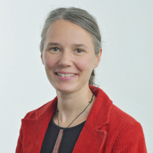
Venke Becker
Geophysicist, G&G Integrated Interpretation
TERRASYS Geophysics
María Carrizo Mascarell
Geophysicist, EM R&D
TERRASYS Geophysics
Karl Goldschmidt
Geophysicist, Financial Director & Founder
TERRASYS Geophysics
Stefan Hoßfeld
Geologist, G&G Integrated Interpretation
TERRASYS Geophysics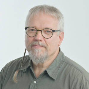
Markus Krieger
Geophysicist, Technical Director & Founder
TERRASYS Geophysics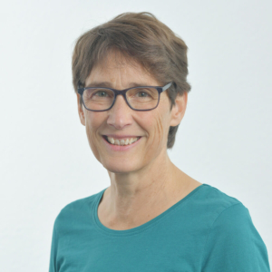
Christina Müller
Physicist, G&G Integrated Interpretation
TERRASYS Geophysics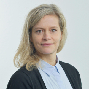
Søgun Petersen
Geophysicist, G&G Integrated Interpretation
TERRASYS Geophysics
Dr. Peter Smilde
Geodesist, R&D and System Developer
TERRASYS Geophysics
Dr. Dieter Werthmüller
Geophysicist, EM R&D (External Consultant)
TERRASYS GeophysicsOur Clients and Partners
We are dedicated to multi-physics data analysis, forward modelling and inversion, interpretation, research and development, and feasibility studies. Although many of our clients are from the energy sector, our services also have valuable impact on environmental, engineering and forensic problems. Even if you come from a completely different sector – if you feel we could help you, we would be pleased to hear from you.